
India's highway network is extensive and constantly expanding, comprising over 6.6 million kilometers of roads, with the National Highways making up about 2% of the total road length but carrying 40% of road traffic. India's national highways are a network of roads maintained by the government, with NHAI and the Ministry of Road Transport and Highways being the primary authorities.
State highways in India are roads connecting major cities and districts within a state, managed by the respective state governments. Maharashtra has the largest network of state highways, followed by Karnataka and Gujarat, and they are maintained by state Public Works Departments. These highways link to National Highways or highways of neighboring states and play a crucial role in regional connectivity and economic activity.
There are 599 National Highways in India with a total length currently around 1,46,195 km and the total length of state highways in India is approximately 179,535 km as of 2025. There is a severe need of high precise Survey Grade High Definition (HD) data for all the existing National Highways and State Highways in India.
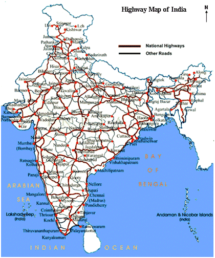
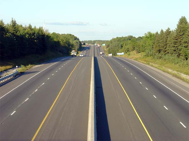
“Prashant Advanced Survey LLP” based in Pune, Maharashtra, India has successfully completed, one of the most ambitious mapping initiatives in the country - capturing more than 1,00,000 Km of 3D HD Data (High Definition Data) of the existing Expressways and National Highways in India, using a fleet of "Leica Pegasus" Survey Grade Mobile LiDAR systems, along with Survey of India CORS (Continuously Operating Reference Station) DGPS Network. In this 1st phase, the target for capturing National Highways in India is 1,75,000 Km run of HD data which is expected to be completed by April 2026. In the 2nd phase, similar HD data capture will be done for about 2,00,000 Km run of State Highways throughout India.
These survey grade HD Data & Maps are extremely useful to National Highways Authority of India (NHAI), Ministry of Road Transport and Highways (MORTH), Public Works Department (PWD) of various states in India, Highway surveyors, designers, contractors, construction & maintenance companies and in the autonomous vehicle industry for ADAS & HD Maps.
ADAS (Advanced Driver Assistance Systems) use High-Definition (HD) maps for autonomous vehicles by providing hyper-accurate, detailed digital representations of the road environment (lanes, signs, curbs, etc.), extending the car's "vision" beyond its sensors for precise localization, perception, and path planning, enabling safer, more proactive driving for levels from basic assistance (like ACC) to full autonomy (Level 3-5) through combination of pre-captured HD Maps and real-time data fusion and updates.
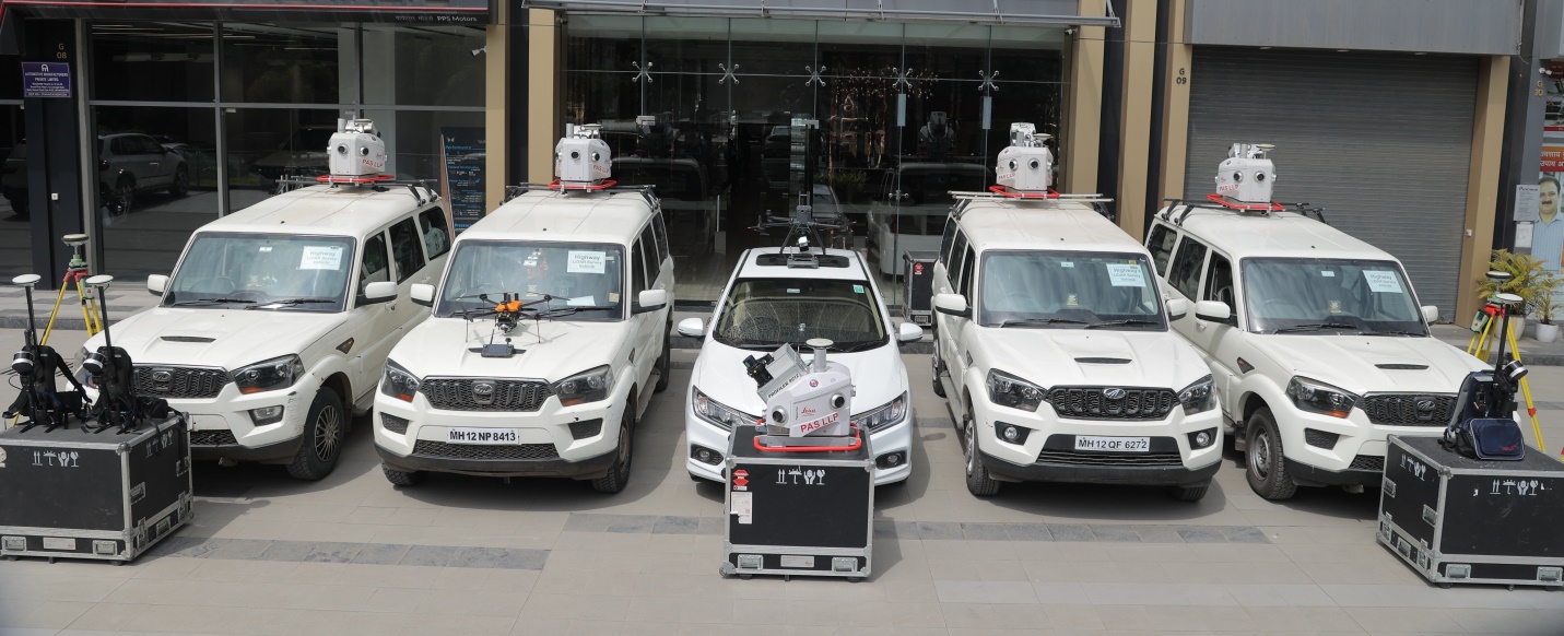
This data is made available to the extensive users across India (individuals, Government & Private Companies in India) from 2nd December 2025 onwards after its project launch in GeoSmart India 2025 at Bharat Mandapam, Delhi with the vision of “One Nation One Map – Advancing Geospatial Infra for National Sovereignty & Economy”. The pricing strategy ensures affordability & accessibility to various stake holders, supporting a wide range of deliverables - from 3D point cloud to Digital Twin models & ADAS / HD maps for future autonomous vehicle ecosystems.